
-
 City of Orange BeachIsaias strengthened into a Category 1 hurricane late on Wednesday and is expected to make landfall near the Alabama-Florida line by Saturday morning.
-
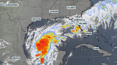 Tropical Storm Isaias is expected strengthen into a Category 2 hurricane on Friday. The cyclone is headed towards the northern Gulf but moisture will impact much of Florida.


-
 October weather across Florida is usually warm, with lower precipitation chances. The tropics usually remains a concern through the month.
-
 Florida finally has a meaningful opportunity to put a dent in its drought, but the same prolonged wet pattern that brings drought relief could also bring localized flooding and increasingly rough coastal conditions into next week.
-
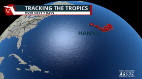 Forecasters were tracking Tropical Storm Hanna in the central Atlantic, but similar to most systems in 2026, it will remain weak and stay clear of land.
-
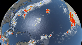 Tropical Storm Gonzalo formed in the far eastern Atlantic near the Cabo Verde Islands, but the cyclone is not expected to become a hurricane.
-
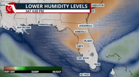 September lows in the 60s are unusual, and some parts of Florida will enjoy a crisp weekend with low chances of rain.
-
 Landfall, direct hit, strike and indirect hit describe different relationships between a hurricane and a location — and the terms can overlap. Hurricane Milton shows why the path of the center is only one part of a storm’s story.
-
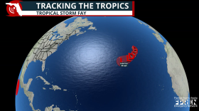 Tropical Storm Fay formed southwest of the Azores in the northeast Atlantic, but there is no direct threat to land.
-
 T.D. Six could strengthen enough to become the sixth named storm of the hurricane season. Even so, it will remain well removed from any landmass
-
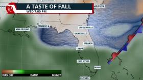 Some will get a taste of autumn this week. Are you ready?
-
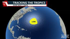 The National Hurricane Center is monitoring a disturbance in the central Atlantic, but the system poses no threat to the U.S. and faces an uphill climb for development.


